Debra Scacco
Artist Statement:
"Every map is a fiction."
DJ Waldie, Holy Land
Everything is a line: every boundary, every bridge, every river. We take lines for granted. We walk on them, drive on them, fly across them, travel through them, stay within them, are kept out of them. We are led to believe these lines are immovable. We are led to be believe we exist on the right side of the line. We are trained to fear what, or who, inhabits the territory on the other side.
These are the lines by which we live: country lines, state lines, river lines, highway lines, train lines, power lines, water lines… We move amongst the lines as though we move freely. Yet they are not ours; they have been drawn for us. They are the scars of our past, circumscribing history, and how individuals are permitted to exist within them.
My interest in these lines lies in my own immigrant history: in trying to understand the complicated shape of my own family, and the thousands of miles that separate us.
My work is a study of lines of lineage, lines of passage, lines of policy. I question and contest these lines, reflecting a more accurate representation of our layered past by examining the structures of permission by which we live. In doing so, I highlight lines that are historically undocumented, unarchived, silenced.
Debra Scacco, 2018
Taken from Wikipedia,
Environmental Geography:
“The links between human and physical geography were once more apparent than they are today. As human experience of the world is
increasingly mediated by technology, the relationships between humans and the environment have often become obscured. Thereby,
integrated geography represents a critically important set of analytical tools for assessing the impact of human presence on the environment.
This is done by measuring the result of human activity on natural landforms and cycles.[4] Methods for which this information is gained include
remote sensing, and geographic information systems.[5] Integrated geography helps us to ponder the environment in terms of its relationship to
people. With integrated geography we can analyze different social science and humanities perspectives and their use in understanding people
environment processes.[6] Hence, it is considered the third branch of geography,[7] the other branches being physical and human geography.[8] “
https://en.wikipedia.org/wiki/Integrated_geography
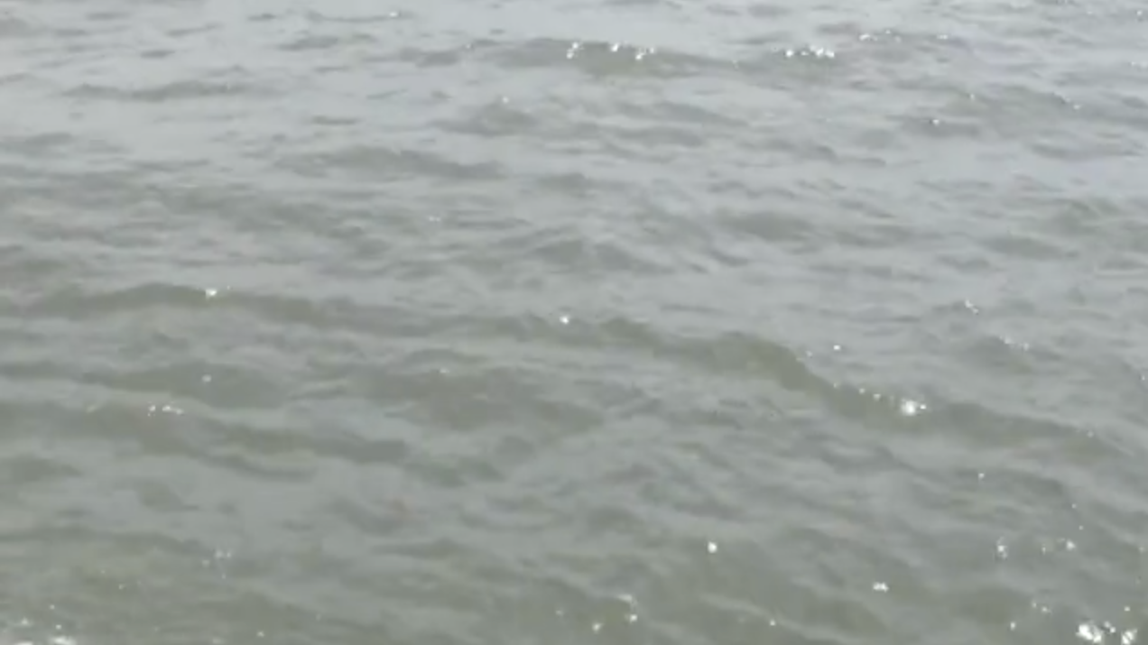
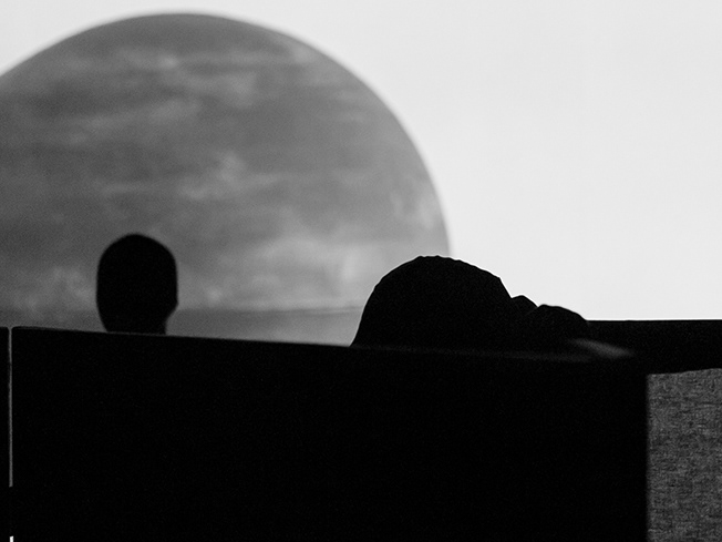
Video Installation
Run time: 11m 48s
2017/18
The Narrows refers to the thin stretch of water in New York City separating Brooklyn and Staten Island. Now connected by the Verrazano Bridge, this waterway is one of the most significant gateways in American history. Between 1892 and 1954, over 12 million immigrants sailed through the Narrows to arrive at Ellis Island: the nation’s busiest immigrant inspection station of the time.
This unaltered footage presents the boat journey between Ellis Island and Manhattan: the liminal waters not yet deemed "America," where the future of the individual confronted the reality of politics and power. Narrated by three interviews from the Ellis Island Oral History project, the stories we hear from those who experienced Ellis firsthand highlight the core reasons, then and now, for risking everything to cross a border: safety, security, and a search for a better life.